LSU Civil & Environmental Engineering Team Examines Effects of Rising Sea Levels Along Texas Coastal Bend
 July 10, 2023
BATON ROUGE, LA – According to the Texas General Land Office, 64% of the Texas coast is eroding at an average rate of six feet per year, with some areas losing more than 30 feet per year. Coastal erosion for any city or state means property values decrease; homes and businesses are lost; local economies feel the impact of less tourism; farming and fishing industries are impacted; and roads and infrastructure are at risk. Nothing can be done to control Mother Nature, but creating buffers between storm surge and the land can greatly reduce coastal erosion over time.
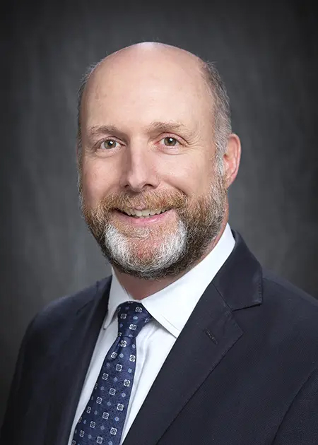
“Coastal communities are facing growing pressure due to the combined effects of rising sea levels, climate change, and human activities,” LSU Civil and Environmental Engineering Professor Chris Kees said. “As the probability of flood hazards and events increases in coastal areas, implementing multiple lines of coastal defense is critically important to minimize and mitigate flooding risks.”
Thanks to a $316,100 grant from Texas A&M Corpus Christi, Kees and his team of LSU researchers—including LSU Coastal Ecosystem Design Studio (CEDS) Research Professor Peter Bacopoulos and LSU Center for Coastal Resiliency Postdoctoral Researcher Jin Ikeda—are working on the National Oceanic and Atmospheric Administration (NOAA) Effects of Sea Level Rise (ESLR) project. They are examining natural feature evolution under rising sea levels and its ability to mitigate coastal flooding in the Texas Coastal Bend region.
“We evaluate the impacts of coastal flooding using a well-established coastal and ocean model (ADCIRC+SWAN), which can simulate tidal hydrodynamics, hurricane storm surges, and wind-driven waves from the Western North Atlantic Ocean into the coastal land margin of the Texas Coastal Bend,” Kees said.
“The Texas coast is particularly vulnerable to tropical storms and hurricanes, such as Hurricane Ike in 2008 and [Hurricane] Harvey in 2017. Also, the seasonal cycle within coastal water levels is uniquely strong in the Gulf of Mexico and especially along the Texas coast, exacerbating tidal high waters and wind-driven surge. The modeling framework captures the hydrodynamics of tides, storm surge, and seasonality at fine scales throughout the Texas coastal land margin.”
The team will adapt the hydrodynamic-marsh equilibrium (Hydro-MEM) model to the Texas Coastal Bend region by incorporating spatially-based marsh and mangrove distribution, enabling them to predict future coastal ecosystem development across the heterogeneous landscape.
“Mangrove forests are robust physical barriers to protect hinterlands from coastal flooding and erosions, and mangrove expansion will increase coastal resiliency,” Bacopoulos said.
Mangrove forests are one example of Natural and Nature-Based Features (NNBF), which are landscape features used to provide engineering functions relevant to flood-risk management while producing additional economic, environmental, and social benefits. Other examples of NNBF include beaches and dunes, maritime forests, salt marshes, freshwater wetlands and fluvial flood plains, seagrass beds, coral and oyster reefs, and barrier islands.
Combining NNBF with structural and non-structural measures can create ecosystem goods and services to local communities. For instance, mangrove forests would not only create a barrier of flood resistance but also provide a habitat for fish and wildlife.
“Through this NOAA ELSR project, our group aims to understand the benefits of NNBF toward coastal resilience and to improve projections of future landscapes and evaluation of sea-level-rise resiliency in the region,” Kees said. “The project will improve stakeholder and end-use understanding of sea-level-rise vulnerability along the Texas coast.”
Like us on Facebook (@lsuengineering) or follow us on Twitter and Instagram (@lsuengineering).
###
Contact: Libby Haydel
Communications Manager
225-578-4840
ehaydel1@lsu.edu